Fussingsø (Denmark) –next
| Lake name: | Fussingsø | Country: | Denmark | GIG Region: | CB |
|---|---|---|---|---|---|
| GIG Type: | LCB1 | Lake code: | ---- | Altitude(m a.s.l.): | 18 |
| Area (km²): | 2.17 | Mean depth (m): | 12.6 | Mixing regime: | Polymictic |
| Alkalinity (m eq/l): | 1.4 | Retention time (yr): | 10 | Chlorophyll a (µg/l): | 21 |
| Total phosphorus (µg/l): | 40 | Eutrophication status: | 2 - Medium | Hydromorphological status: | ---- |
Description
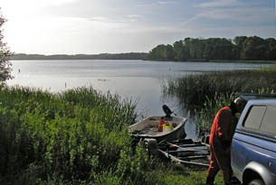
Lake Fussing was created during the ice age and is a 216 ha lake with a maximum depth of 31 m, which mean it is one of the deepest lakes in Denmark. It is a mesotrophic lake surrounded by a morraine landscape dominated by agiculture and forest. Most of the inlet water are from diffuse scources. Macrophyte communities have established a depth up to ca 5 m. Macrophytes are dominated by characeans and pondweeds, besides it is the only lake where Alisma gramineum is registered in Denmark.
back to overview of all sampling sites